The Most Dangerous Roads in California
- Last update: 3 days ago
- 2 min read
- 13 Views
- BUSINESS
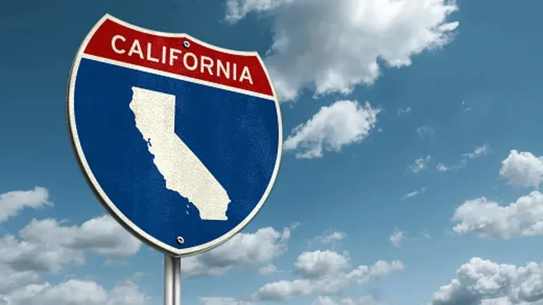
Roads can gain a dangerous reputation for many reasons, from sharp curves and narrow lanes to high altitudes or areas with potential security risks. California, in particular, has several stretches of highway that stand out for their riskiness. Personal finance tech firm Moneygeek analyzed data from over 10,300 fatal accidents to determine the states most perilous roads. Their research also factored in deaths per mile, highlighting the exact segments where accidents are most concentrated.
Top Dangerous Routes in California
The most hazardous highway identified is the I-15. A 4.5-mile stretch between Hesperia and Cajon Pass recorded 4.2 fatalities per mile. The next two most dangerous sections are contiguous portions of I-80 in Berkeley and San Pablo, measuring five miles each. Berkeley saw 3 deaths per mile, while San Pablo experienced 2.6 deaths per mile.
Despite California boasting "more than 50,000 miles of good-quality highways and freeways," certain segments remain particularly risky due to mountainous terrain, heavy traffic, outdated infrastructure, and confusing intersections.
I-15 and the Cajon Pass
The I-15 stretches north from San Diego, connecting Los Angeles with Las Vegas and passing through Nevada, Utah, Idaho, and Montana. The most dangerous section is just outside central Los Angeles, winding through the Cajon Pass. Factors contributing to accidents here include heavy trafficoften exceeding 50,000 vehicles dailysteep grades, sharp curves, strong winds, fog, snow, and a high volume of commercial trucks. There is even a dedicated site, PainInThePass, tracking incidents along this route.
I-80 Through Berkeley
North of Oakland, the I-80s Gilman Street interchange is notorious for traffic confusion. Multiple entry points, unclear right-of-way, and complex merging challenges make it one of the most dysfunctional intersections in the U.S., according to local reports. Roundabouts are in place to help traffic flow, but driver unfamiliarity can reduce their effectiveness.
I-80 Through San Pablo
Another hazardous I-80 segment lies just north of Berkeley, near San Pablo. Severe congestion around San Pablo Dam Road, insufficient pedestrian and bicycle infrastructure, and persistent traffic issues have contributed to the areas dangerous reputation. An anti-congestion project has been planned for nearly a decade, with costs projected in the hundreds of millions.
Author: Sophia Brooks
Share

Industry stands its ground against San Francisco's UPF lawsuit.
3 minutes ago 2 min read BUSINESS

Bus companies combine to streamline transportation system.
4 minutes ago 1 min read BUSINESS

Opinion - China's Desire for AI-Powered Military Using Nvidia Chips Raises Concerns
5 minutes ago 3 min read BUSINESS

Bessent's Claim about Affordability in Blue States Fact-Checked and Generates Laughter
8 minutes ago 2 min read BUSINESS

PSNI implements dash-cams in cars for the first time
12 minutes ago 2 min read BUSINESS

India Multiplex Association Objects to Netflix-Warner Bros. Deal: 'A Significant Decrease in High-Quality Content for Theaters'
13 minutes ago 2 min read BUSINESS

Employee fired for having a romantic relationship with a subordinate
15 minutes ago 2 min read BUSINESS

Nogizaka46's Song 'Biryani' Reaches No. 1 on Japan Hot 100
17 minutes ago 2 min read BUSINESS

New study shows that reducing polarizing content decreases emotional intensity on social media
25 minutes ago 3 min read BUSINESS

Scotland's newspapers: Government orders review of grooming gangs and issues warning to NHS
29 minutes ago 1 min read BUSINESS